NEW Mapyx MXMapWeb


New MXMapWeb™

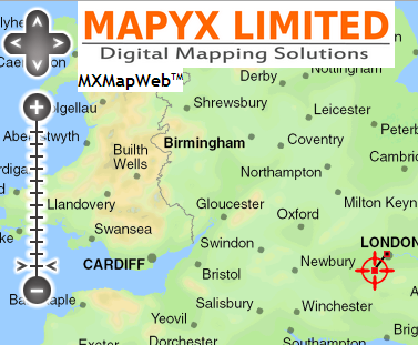
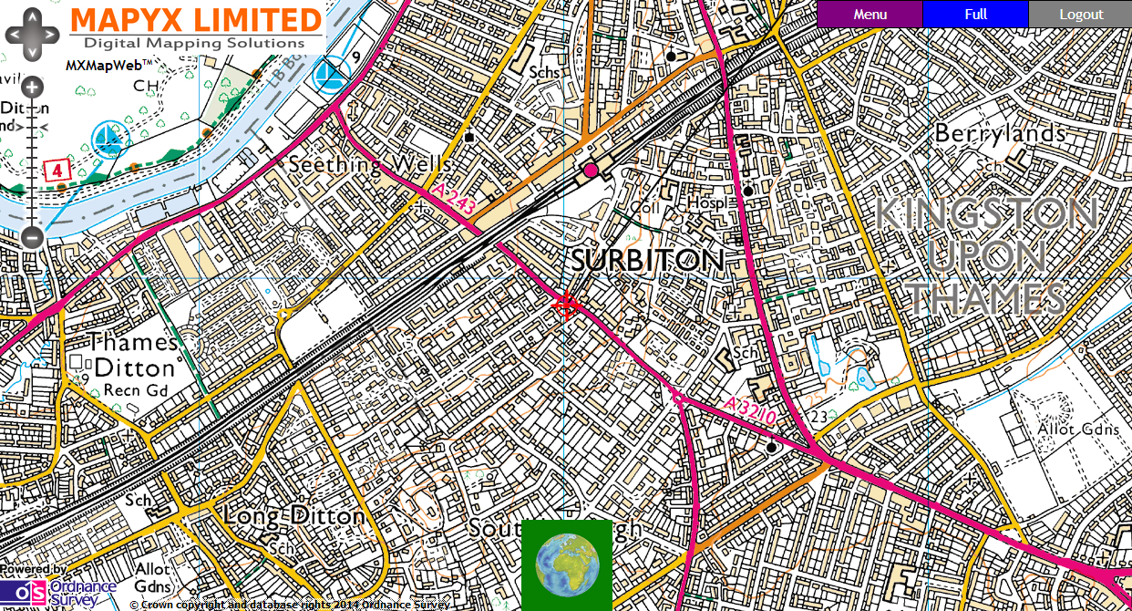
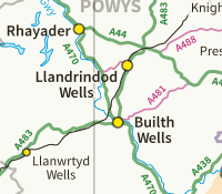
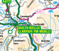
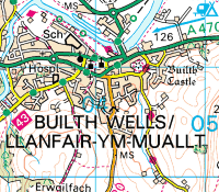
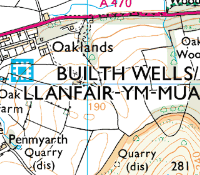
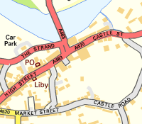
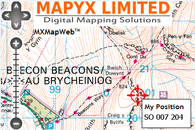
The New Mapyx MXMap Web™ system is designed to permit the User to view OS mapping at multiple scales on any internet enabled device supporting HTML5, including Mac, iPhone/iPad, Android etc.

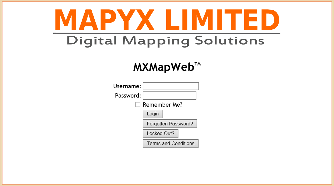
The NEW MAPYX MXMapWeb™ solution provides:


  • View Ordnance Survey Maps via the MXMapWeb™ cross platform portal via internet connection.
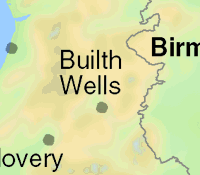
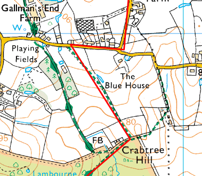
  • View latest Ordnance Survey Mapping at ALL SCALES for FULL GB (Overview, 1:1m, 250k, 50k, 25k, down to 1:10k Streetview Mapping).
  • View your own position on compatible phones with location service/GPS.
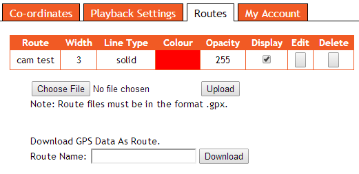
  • Upload multiple Routes to system.
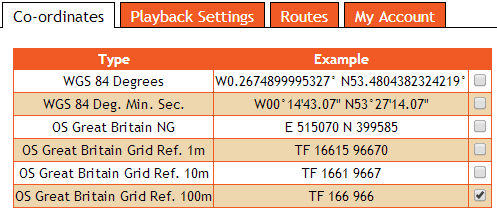
  • Positions shown in OS Grids or WGS.
  • Payable on an as-needed Monthly, 6-Monthly or Annual Subscription.
New MXMapWeb™ Functionality

Log on Screen
Combined Map, Menu & GPS Screen
Latest Ordnance Survey Full GB Multiple Map Layers
OS Overview 1:1m OS Miniscale 1:1m OS 250k Roadmap
OS 50k Landranger OS 25k Explorer OS 10k StreetView
Show on screen position with suitably enabled location services
GPS Functions

GPS is OFF

The GPS is ON and the
location of the device is
indicated by the symbol

This is the location of the
device provided by the
device and superimposed
onto the map

The GPS is on and the GPS
is LOCKED to screen, so
that the map screen will
refresh to show the GPS
location in the centre of
the map screen. If the
device is moved, the
screen will refresh to
indicate the location of
the device.
Simple to use Menu
Show location in different formats
Show Playback of Routes walked
Upload GPX routes, amend display to suit.

Save Track of route walked
Routes Appear on Map Screen
Easy to use Account maintenance

To order please make your selection below

1 Month subscription
6 Month subscription
Annual subscription